Geographical Comparision
The Geographical Comparison module allows users to compare the ARGs profiles of their samples with reference environmental datasets. It utilizes world maps and boxplots to facilitate the comparison and visualization of the data.
Input
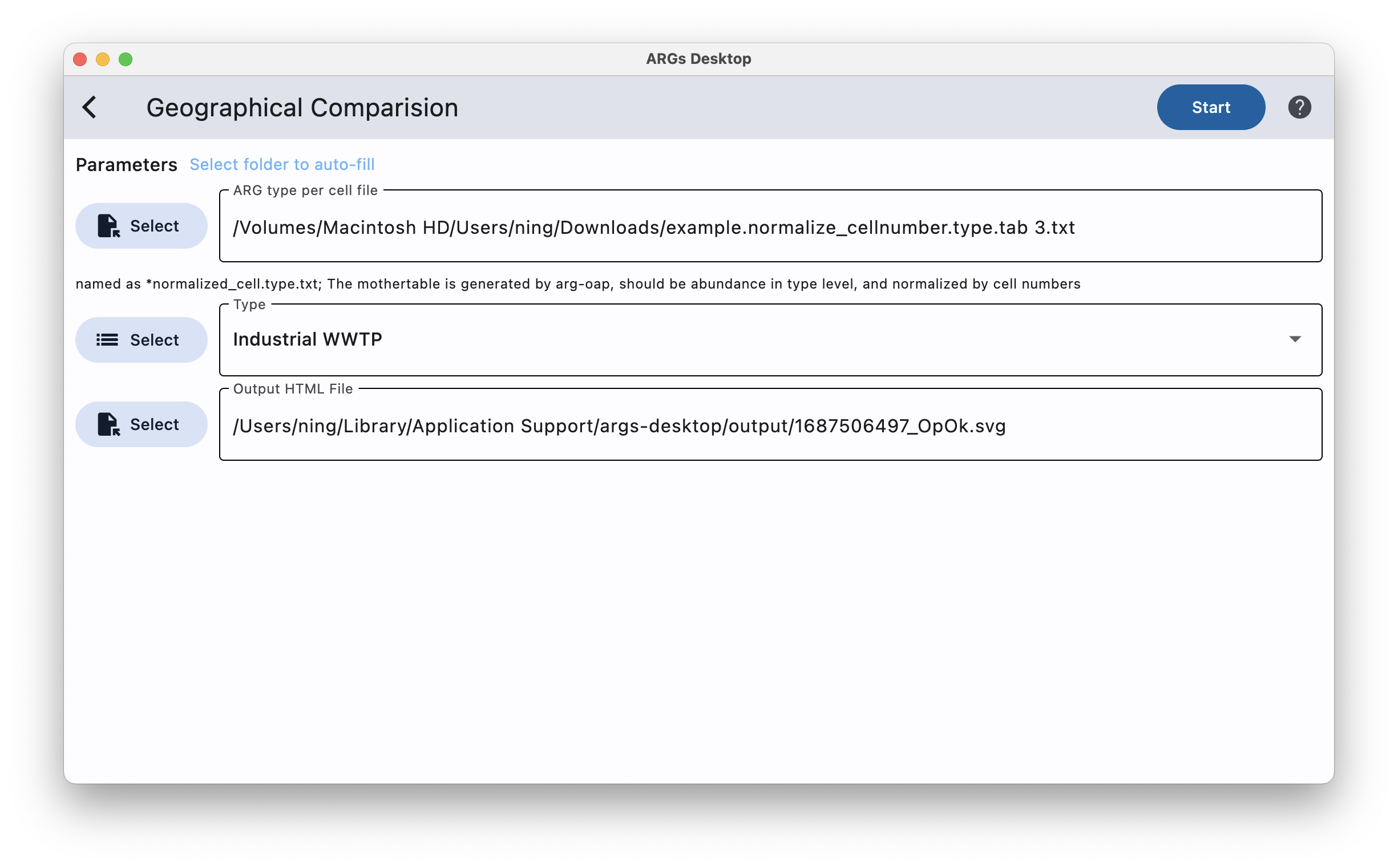
ARG profile: named as *normalized_cellnumber.gene.txt; The mothertable is generated by arg-oap, should be abundance in sequence level, and normalized by cell numbers
Type: should be one of the following: [1] “Agricultural field” ; [2] “Cattle_feces”;[3] “Chicken_feces” [4] “Human_feces”; [5] “Industrial WWTP”; [6] “Marine_water” [7] “mine” ; [8] “Natural_sediment”; [9] “Natural_soil” [10] “Natural_water”; [11] “Sewage” ; [12] “Swine_feces”; [13] “WWTP”.
Output
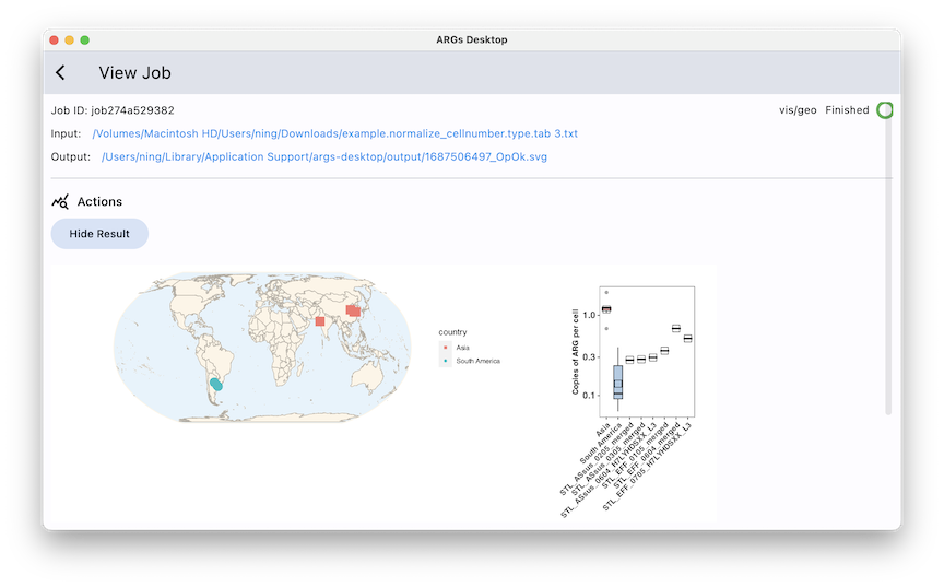
A SVG world map.